Cold Snap Ends as Heavy Rain and Strong Winds Loom Over New Zealand
Cold Snap Ends as Heavy Rain and Strong Winds Loom Over New Zealand
After a brutal cold snap that brought record-breaking low temperatures across New Zealand, a dramatic shift in weather is on the horizon. As the coldest morning of 2025 so far was recorded, the nation is now bracing for a return of heavy rain and strong winds, potentially bringing severe weather conditions from Monday onwards.
A Bone-Chilling End to the Cold Snap
Yesterday marked the coldest morning of 2025, with temperatures plummeting to -7.5°C at Dunedin Airport and -3.9°C in Masterton. Even in typically warmer regions like Auckland, frosts were reported in sheltered areas. Queenstown braced for a low of 1°C, while Wellington and Auckland saw temperatures of 9°C and 11°C, respectively.
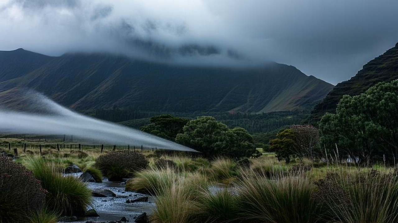
However, the icy grip of the cold snap is expected to loosen as the week progresses. According to MetService, a significant warming trend is anticipated as northerly winds return, bringing in warmer air from the tropics. This shift, while welcome, is accompanied by an increase in both rainfall and wind speeds, setting the stage for more severe weather conditions.
A Wet and Windy Outlook Ahead
MetService forecaster Devlin Lynden warned that the nation should prepare for a return of heavy rain and strong winds, with the first showers expected to begin on the West Coast of the South Island on Monday evening. These conditions are likely to intensify, with widespread heavy rainfall forecast for Tuesday, particularly affecting the West Coast of the South Island and the Tasman district.
Lynden emphasized that the entire country could face significant rainfall by Tuesday, with warnings and watches for heavy rain and strong winds likely to be issued. Residents are urged to stay informed and take necessary precautions as the weather becomes more volatile.
Flooding Risks and Past Disasters
The Tasman region, still recovering from recent flooding, is particularly at risk. Tasman Mayor Tim King reiterated that river levels remain at elevated levels, similar to those seen at the end of winter. Despite seven days of clear skies and frosts, the region is not prepared for further heavy rainfall, which could lead to severe flooding and additional damage.
Recent flooding in Nelson, Tasman, and Marlborough has left homes uninhabitable, roads damaged, and properties submerged in water. Local authorities have described the situation as a “one-in-100-year event,” highlighting the unprecedented nature of the disaster.
A Weekend of Relative Calm
While the coming days promise more severe weather, the weekend is expected to offer some respite. MetService reported that high clouds in Northland and Auckland would begin lifting today, with showers likely on the east coast of Northland. Fiordland and the West Coast may also see some rainfall, though the rest of the country is expected to enjoy fine weather.
On Sunday, showers are expected along the eastern coasts of Northland and potentially down to Auckland. The South Island is also in for similar conditions, with cloud cover and isolated showers likely to affect the West Coast and Southland.
As the nation prepares for the return of heavy rain and strong winds, it is crucial for residents to stay informed and take necessary precautions. The coming days may bring challenges, but with proper planning and awareness, the impact of the weather can be mitigated.